Longfellow spelled it "Gitche Gumee." However you spell it, the name translates the same: big water. Lake Superior is the largest fresh water lake (by surface area) in the world. We drove (about 300 miles) up to the north shore town of Grand Marais (population 1353) on June 9 and returned on the 11th. It is a spectacularly beautiful area. We happened to pick three days that were primarily overcast and rainy. That didn't affect our enjoyment of the area (well, not too much), but I wish some of the pictures had turned out better. BTW, the brownish color of the river water is not from sediment. The rivers are fed by the many bog lakes of the northern boreal forest, and tannins produced from plant material in the bogs impart the color. Here is a little of what we experienced.
Lake from Superior, Wis, looking toward Duluth.

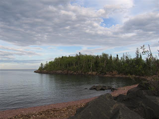
Lake shore north of Duluth

Two Harbors lighthouse

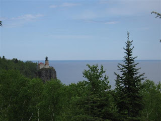
Splitrock lighthouse
Birch trees

Beaver River

Two of Silver Bay
(Known to some as "Dave Buetoeville.")


Two of Temperance River


Swallowtail

Cascade Falls

Grand Marais, view from our motel window

Grand Marais, Artist Point
Artist Point

View of Grand Marais from Artist Point
(Our motel is one of those left of center.)

Driving the Gunflint trail on a rainy morning.

South Brule River

Gunflint Trail, a lake near the Laurentian Divide.
Water to the north runs to Hudson Bay, and to
the south it runs to the St Lawrence River.

Gunflint Lake
The shore on the other side Canadian, eh.

Signs of the times at Gunflint Lake

One of the many bog lakes on the Gunflint Trail.
We saw fresh moose tracks here, but no moose.
(Probably a good thing.)

Gunflint Trail, Trail Center Lodge.
Where we got, like, the best wild rice soup EVER.

Two pictures of the Brule River in Judge Magney
State Park, on our hike up to Devil's Kettle Falls.


Brule River Lower Falls
No photo could capture the incredible
force or volume of water.

Devil's Kettle Falls
The Brule loses about half of its volume here.
Speculation is that it goes to an aquifer.

Beauty (Brule River) and the Beeste 1.

Beauty (Brule River) and the Beeste 2.

Early morning on our motel patio.

Grand Marais harbor early on a sunny morn.

"Downtown" Grand Marais

Baptism River as it flows in Lake Superior

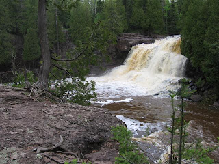
Two of Gooseberry Falls

St. Croix River about an hour north of Red Wing.
Notice how much more scenic it is on the right
(Wisconsin) side than on the left (Minnesota) side.


 Street in the old section of La Crosse; nice book store on the right past the coffee shop.


